 vesseltracker.com
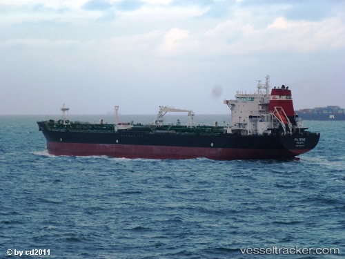
Vessel CHARIOT TIDE IMO: 9323376, MMSI: 650000265 Oil/Chemical Tanker
UTC, 38.87406, 26.82189, course: 275, speed: 10.2
UTC, 38.87406, 26.82189, course: 275, speed: 10.2
2026-02-28 21:06:21 UTC, 38.87406, 26.82189, course: 275, speed: 10.2
Live AIS position:
UTC. Near Aliaga),
updated 2026-02-28 21:06:21 UTC.
Find the position of the vessel CHARIOT TIDE on the map. The latter are known coordinates and path.
marine traffic ship tracker show on live map
The current position of vessel CHARIOT TIDE is 38.87406 lat / 26.82189 lng. Updated: 2026-02-28 21:06:21 UTCCurrently sailing under the flag of Mozambique
Details:
Last coordinates of the vessel:
UTC, 38.87953, 27.00957, course: 28, speed: 0.2UTC, 38.87406, 26.82189, course: 275, speed: 10.2
UTC, 38.87406, 26.82189, course: 275, speed: 10.2
2026-02-28 21:06:21 UTC, 38.87406, 26.82189, course: 275, speed: 10.2